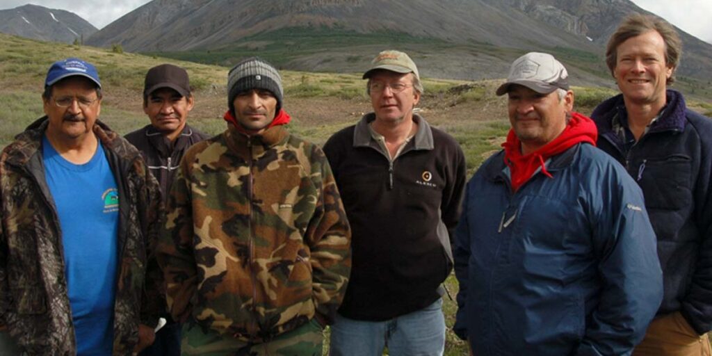
The Peel Watershed Regional Land Use Plan was produced by the Peel Watershed Planning Commission. The Plan was approved in 2019 by:
Tr’ondëk Hwëch’in First Nation,
First Nation of Na-Cho Nyäk Dun,
Vuntut Gwitchin First Nation,
Gwich’in Tribal Council, and
Yukon Government.
These five governments have established the Peel Plan Implementation Committee (PPIC). There is no longer a Commission in place.
Implementation News
Teetł’it Gwinjik: the five governments and Parks Canada have determined that a National Park is feasible – this is described in their Feasibility Report. The next step is for them to negotiate an establishment agreement. Parks Canada provides news on their website.
The Wind River Trail has been officially closed (see OIC 2024/153).
Several other plan recommendations have been implemented, as described in our August 2023 progress report!
YLUPC has been providing opinions as to whether or not proposed projects in the region are consistent with the Final Recommended Plan since the Peel Watershed Planning Commission is no longer in place. For more information on consistency opinions in the Peel Watershed region click here.
80% of the region is made up of conservation areas, including Special Management Areas and Wilderness Areas.
20% of the region is Integrated Management Areas. A new set of standard terms and conditions are required for new projects in the region.