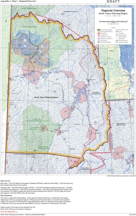
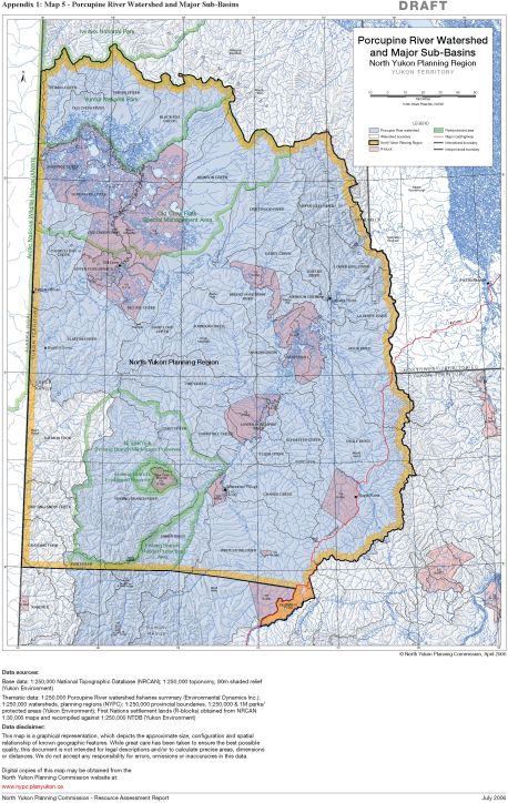
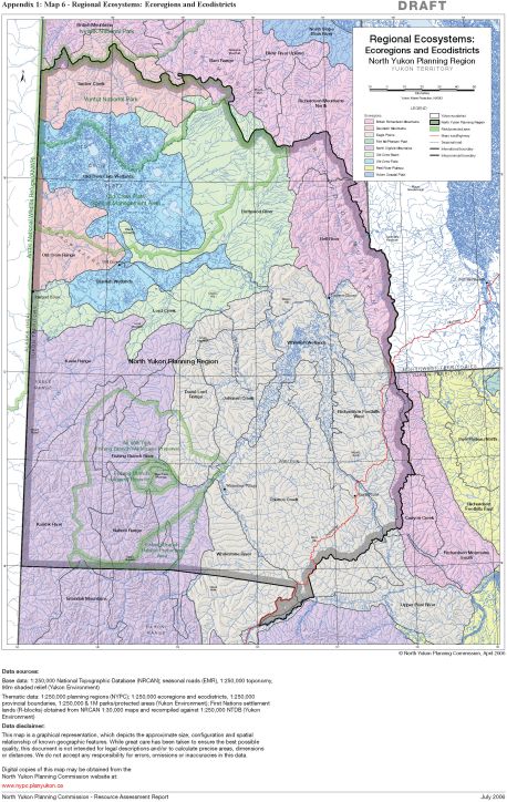
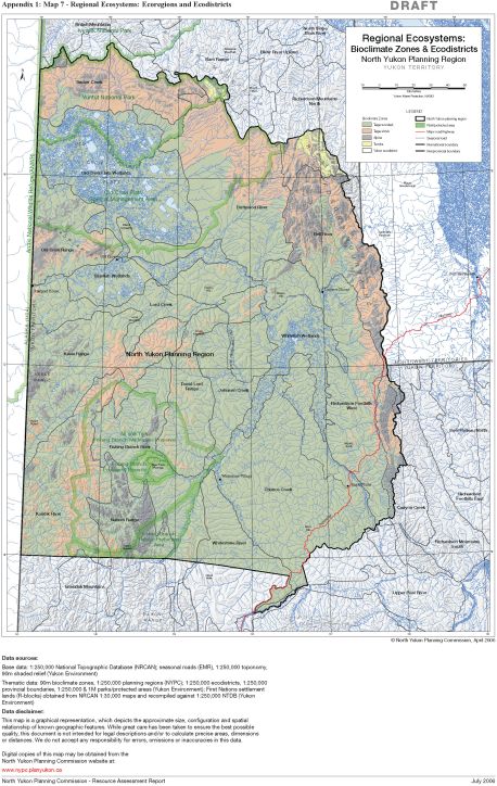
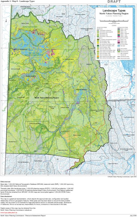
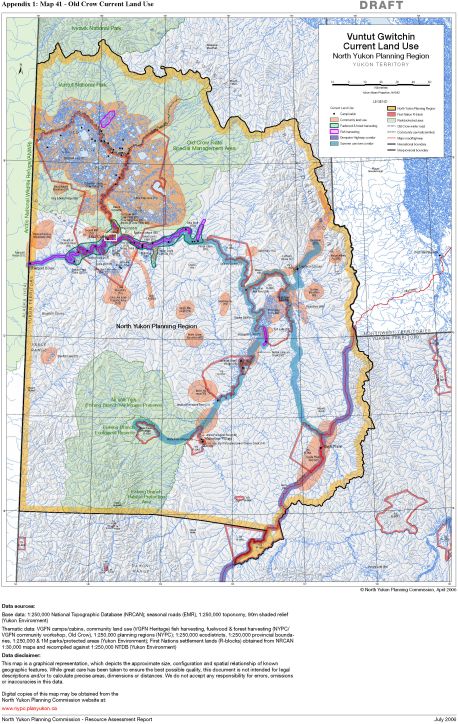
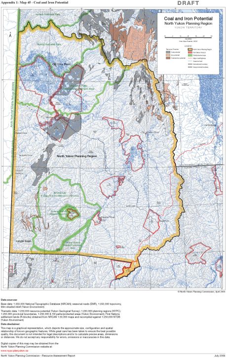
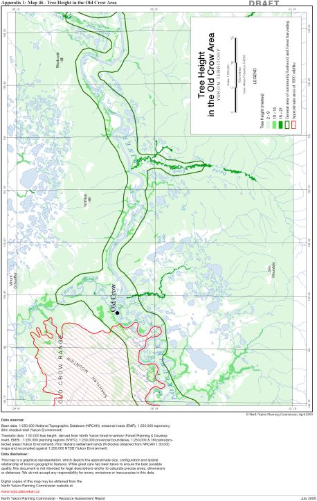
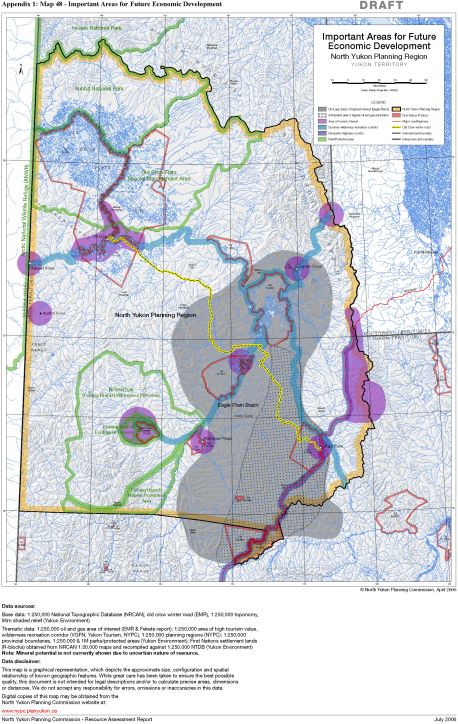
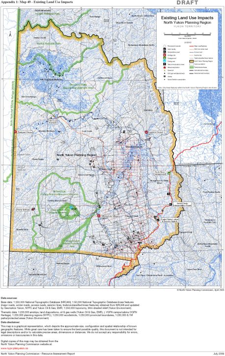
The North Yukon Regional Land Use Plan applies to the North Yukon Planning Region which largely falls within the Traditional Territory of the Vuntut Gwitchin First Nation. This plan was developed by the North Yukon Regional Planning Commission and was approved by the Yukon Government and Vuntut Gwitchin First Nation Governments in 2009.
Since 2009, those two governments have led the implementation, with some support from the Yukon Land Use Planning Council. There is no longer a North Yukon Planning Commission in place.
YLUPC reviews proposed projects in the region to determine whether they are consistent with the Approved North Yukon Plan. For more information on these reviews click here. Further, YLUPC has started a demonstration change registry that it hope will publicize plan amendments.
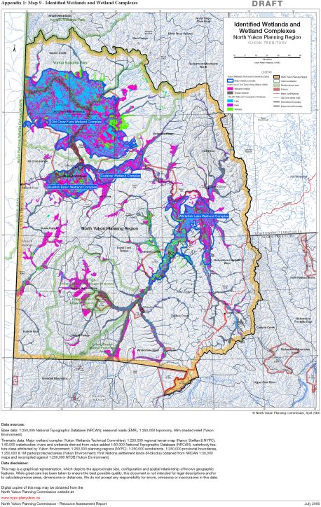
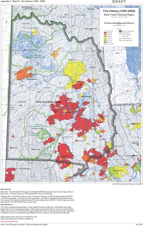
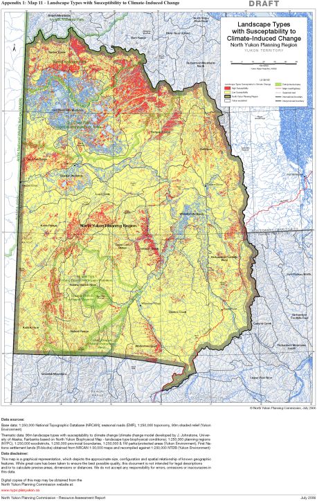
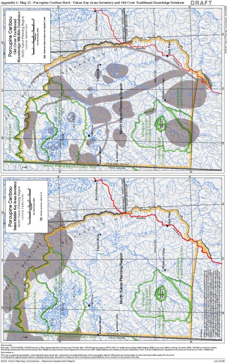
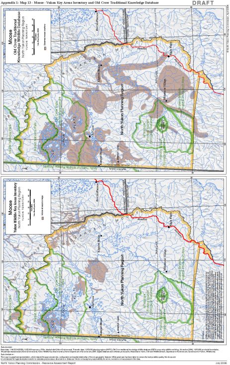
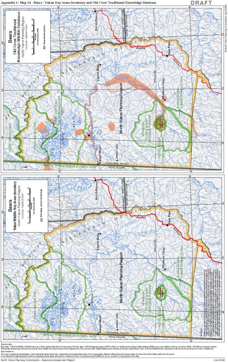
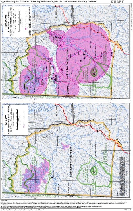
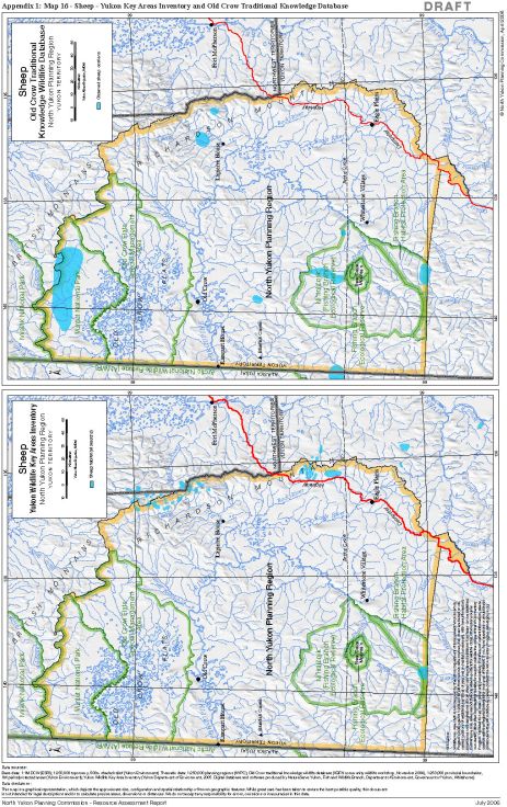
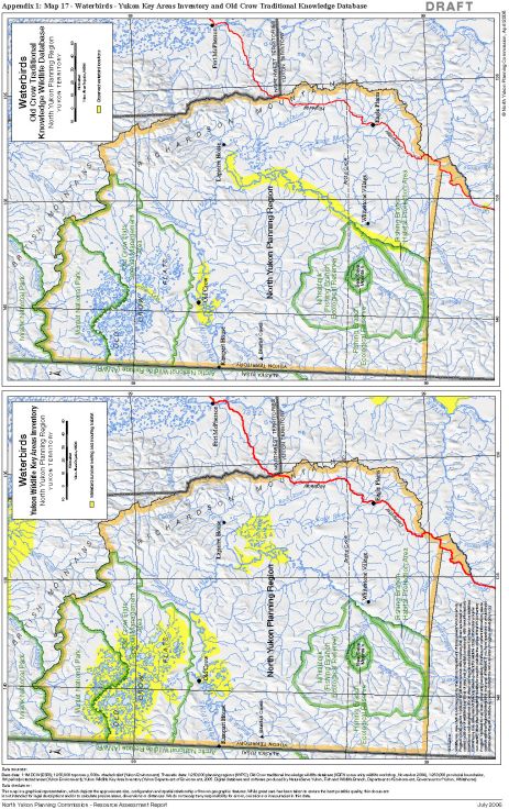
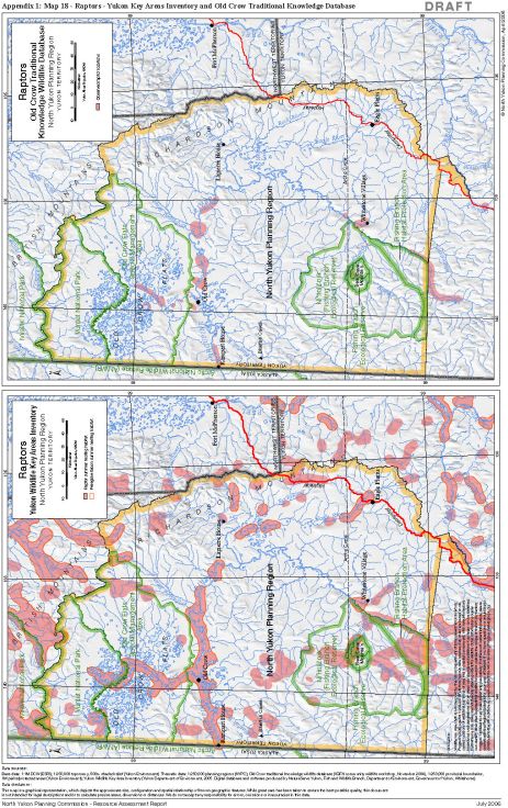
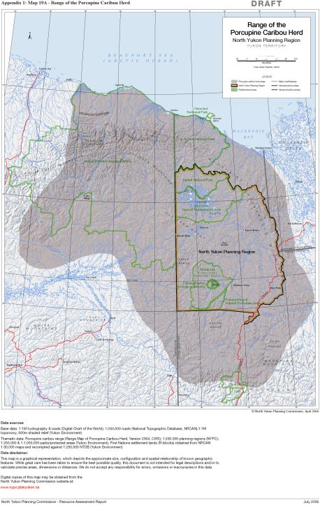
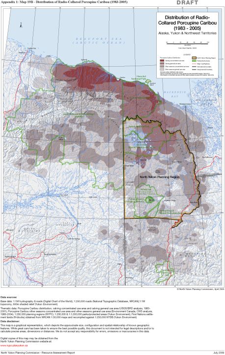
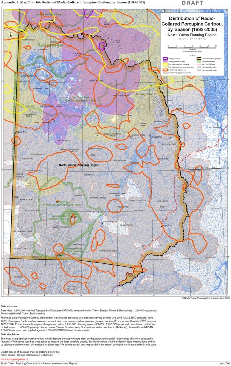
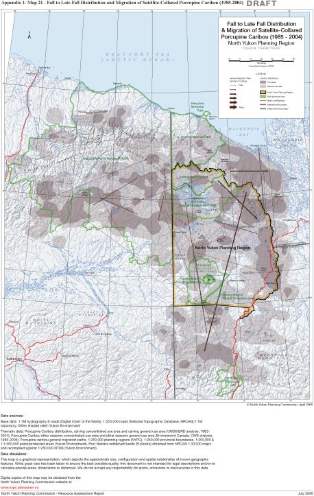
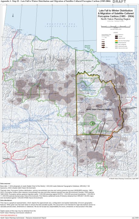
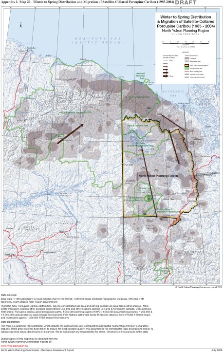
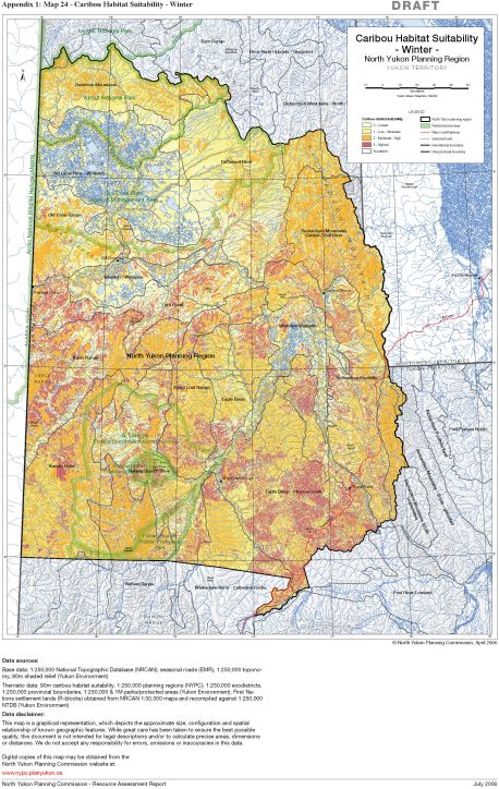
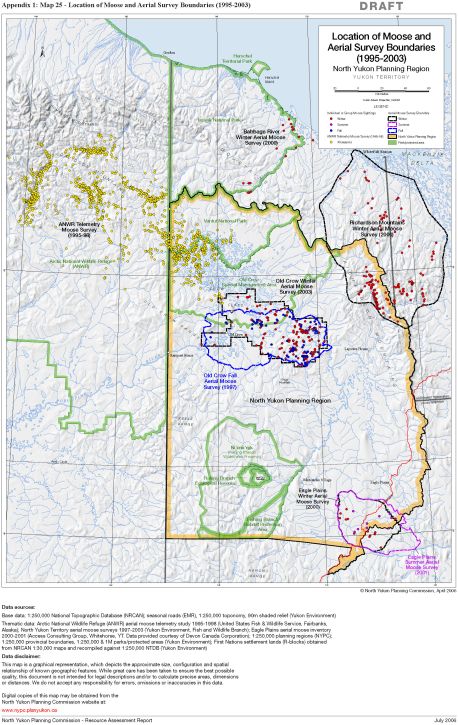
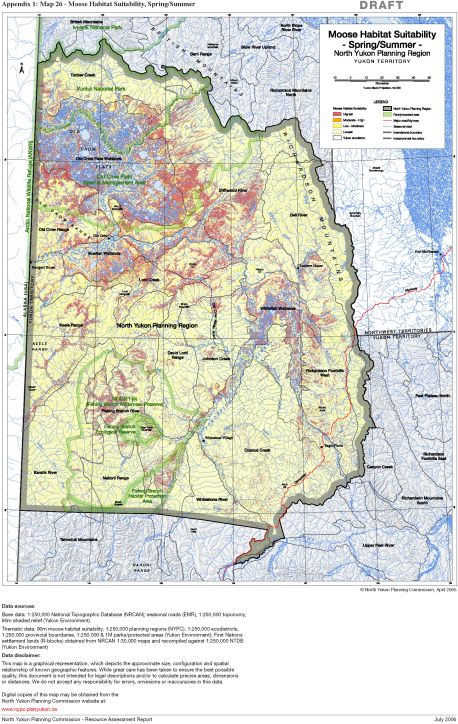
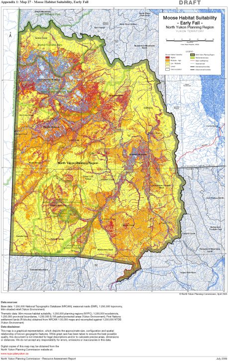
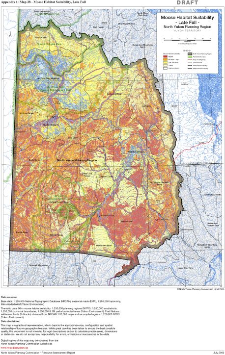
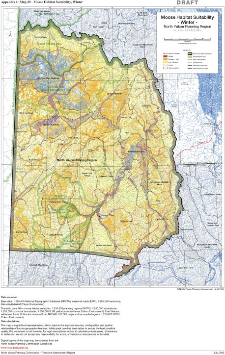
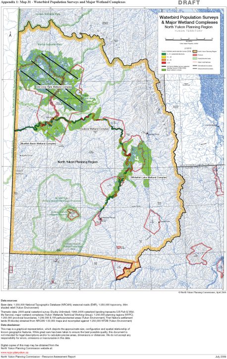
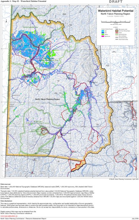
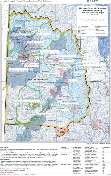
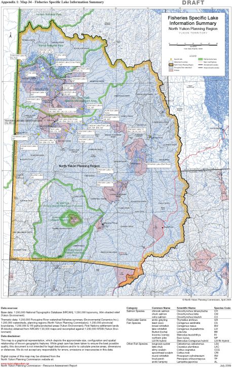
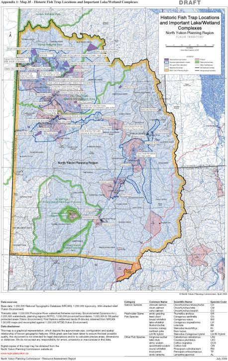
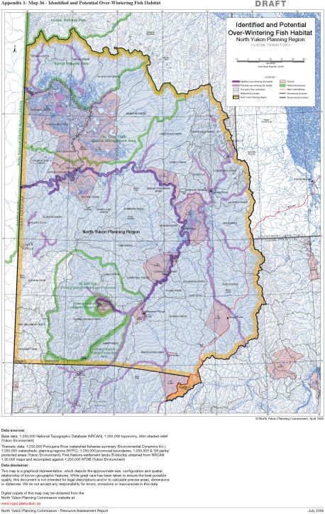
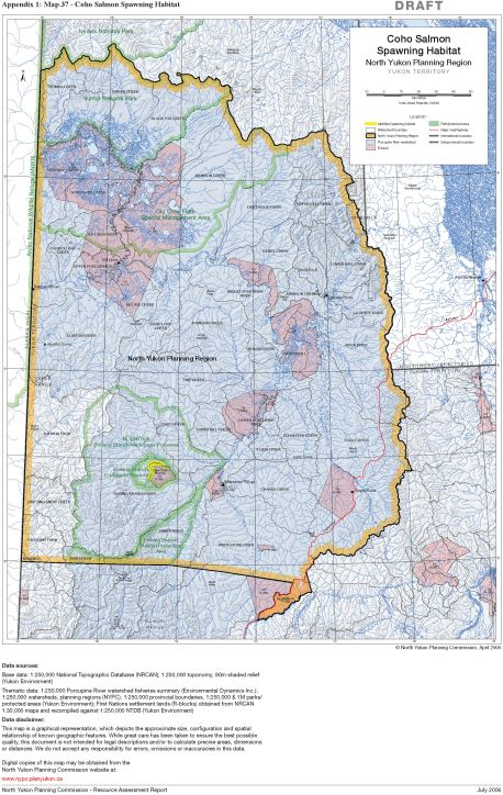
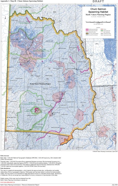
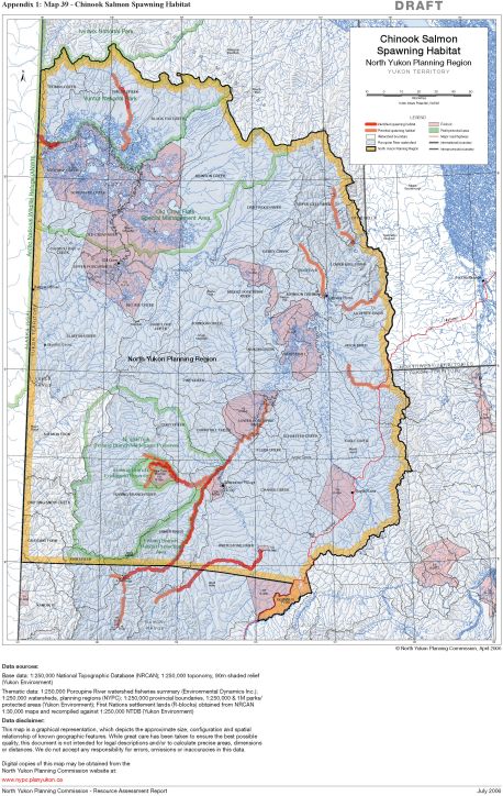
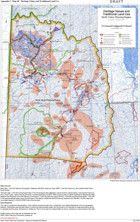
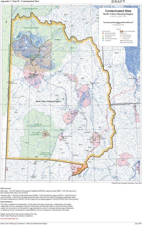
Spatial data can be found and explored on our data hub.
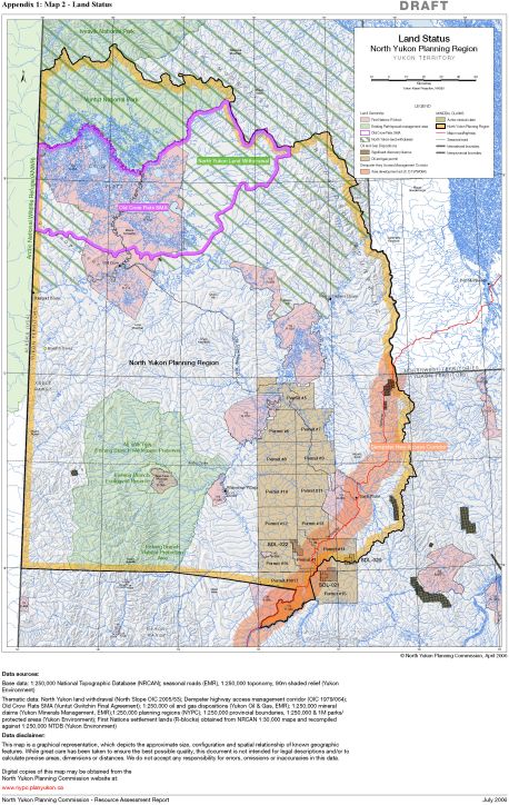
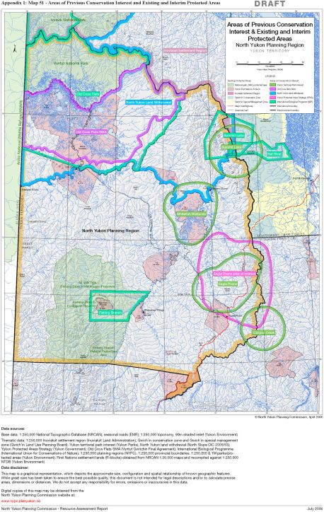
Two protected areas have been established as a result of the regional plan:
Dàadzàii Vàn Territorial Park is in the Summit Lake-Bell River area. A management plan is yet to be developed for the park.
Plan Review: the North Yukon Regional Plan is due for a full plan review. In April 2024, YLUPC made a recommendation to the Vuntut Gwitchin and Tr’ondëk Hwëch’in Governments as well as the Government of Yukon to undertake a review of the North Yukon Regional Land Use Plan. If the Parties agree to proceed with the plan review, this will mark the first review of a Chapter 11 land use plan to take place in Yukon: an important phase of plan implementation that ensures plans stay relevant through times of environmental and socio-economic change.
Chuu Tl’it Gwa’an: This area, formerly known as the North Yukon Annex, the headwaters of the Porcupine River, is a shared use area between Vuntut Gwitchin First Nation and Tr’ondëk Hwëch’in First Nation that needs to be planned.
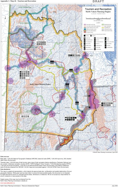
Dempster Highway Corridor: The plan recommends a sub-regional plan be developed for the Dempster Highway Corridor, which runs through this area.