What You Should Know
Acronyms and Abbreviations
| YLUPC | Yukon Land Use Planning Council (the Council) |
| Commission | Regional Land Use Planning Commission |
| UFA | Umbrella Final Agreement |
| CYFN | Council of Yukon First Nations |
| Minister | Minister of Energy, Mines and Resources, Government of Yukon |
| TT | Traditional Territory |
| DAP | Development Assessment Process |
| YESAB | Yukon Environmental and Socio-economic Assessment Board |
What is land use planning?
Land use planning is the process of making decisions about how the land should be managed, protected, and used.
In addition to land use planning, the Council has adopted the term, land relationship planning, which begins with an understanding of people’s relationship to the land and with each other.
Land use plans rely on existing legislation, processes and policies to bring plans to life through implementation.
The term “land”, includes:
- land, water, air, plants and animals; and
- natural processes, whether they are above, on, or below the Earth’s surface.
What is YLUPC?
The Yukon Land Use Planning Council (YLUPC) was established by the Yukon Umbrella Final Agreement (UFA) and individual First Nation Final Agreements.
YLUPC supports regional land use plans by:
- supporting commissions; and
- making recommendations to First Nation
and Yukon governments.

Why is regional planning important?
Land use planning is a way to:
- make coordinated decisions to support sustainable development;
- increase land use certainty and reduce conflicts between land users; and
- make it clear for the public and developers where, what type (economic, cultural, or recreational), and how much activity can happen over time.
Land use plans provide vision for a region, enabling more consistent and long term decision making, compared to project-by-project-based planning.
Examples of planning tools include:
- land designations (similar to zoning);
- standard terms and conditions for projects; and
- identification of conservation areas.
How is regional land use planning done in Yukon?
Regional planning in Yukon is primarily done under the UFA’s Chapter 11 and First Nation Final Agreements.
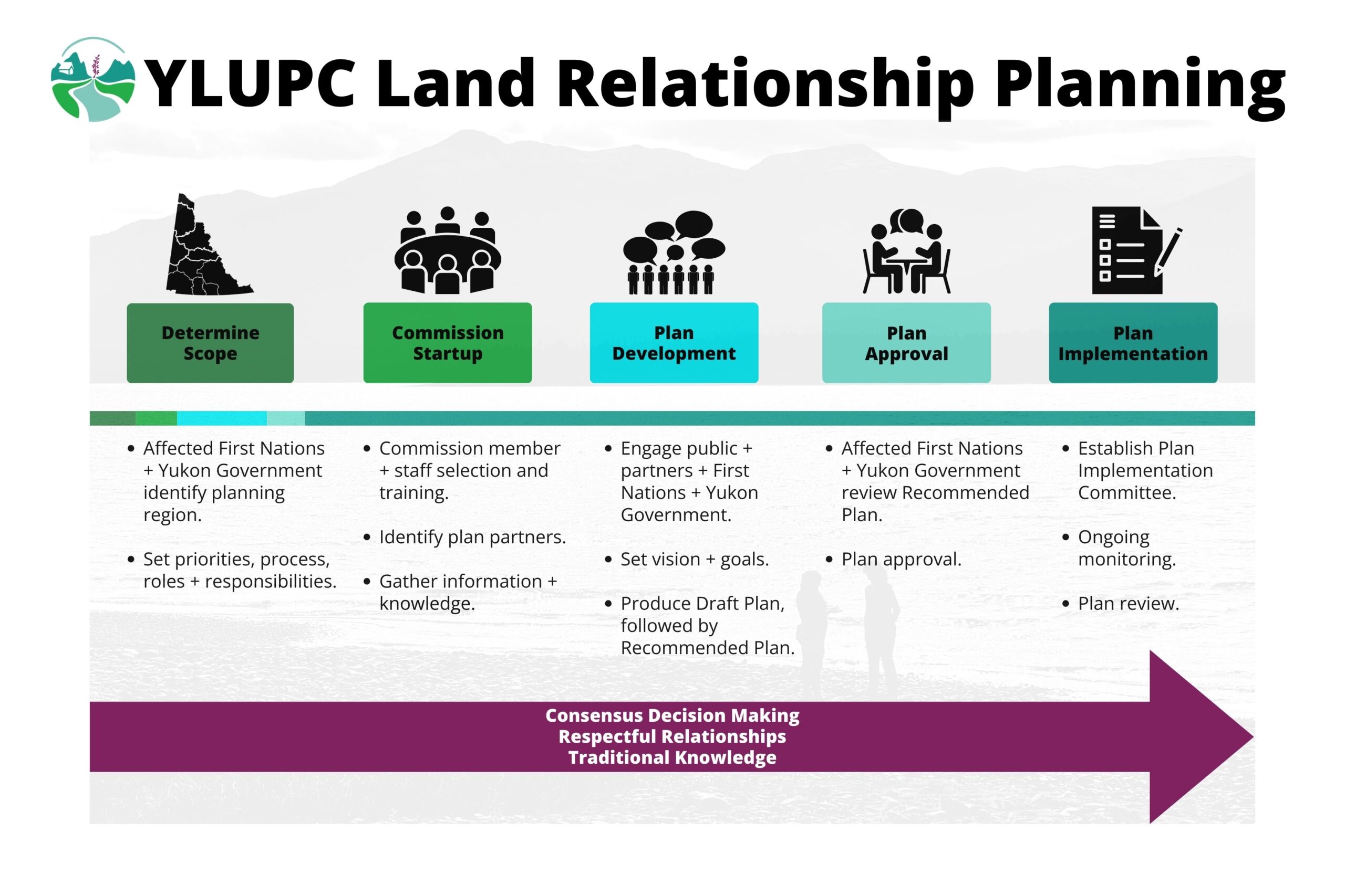
Land use plans under Chapter 11 are developed by regional commissions comprised of Yukoners with long term familiarity with the region being planned. Though commission members are nominated by Yukon Government and Yukon First Nation governments, they are independent.
Plans are recommended to Yukon Government and Affected Yukon First Nations. Once approved, those parties are responsible for plan implementation.
What triggers land use planning?
The process of establishing a new planning commission starts when Affected First Nations and Government of Yukon agree to a General Terms of Reference for a planning region.
YLUPC plays a role in recommending planning priorities, planning boundaries, and the General Terms of Reference for each new commission.
Can land use planning occur in a region without a land claim agreement?
Chapter 11 land use planning under the UFA can occur in areas without land claim agreements if desired by a Yukon First Nation. YLUPC supports any Yukon First Nation wishing to undertake regional land use planning.
The UFA (Pg.8) names all First Nations in Yukon as “Yukon First Nations” and therefore within the mandate of Chapter 11.
How much authority does a land use plan have?
Land use plans are not legally binding. However, they are intended to be comprehensive guidelines for management decisions.
Chapter 11 of the UFA specifies that after Government and First Nations approve a land use plan, they will implement it, subject to the provisions of the development assessment process established by the Yukon Environmental and Socio-Economic Assessment Act.
Governments are not required to enact/amend legislation in order to implement a plan.
Where can planning occur?
Chapter 11 planning can occur anywhere in Yukon, with the exception of:
- the Yukon North Slope (which falls under the Inuvialuit Agreement);
- National Parks and Historic Sites;
- subdivision and local area planning areas; and
- within community boundaries (see UFA 11.2.2).
The established planning regions are North Yukon, Peel Watershed, Dawson and most recently, Na-Cho Nyäk Dun. Other planning regions will be established based upon agreements between Yukon First Nations and Goverment of Yukon.
What are the planning steps?
Who funds land use planning?
The Government of Canada funds Chapter 11 land use planning under the First Nation Final Agreements through two separate accounts:
- YLUPC funding is based on an annual allocation of core funding.
- Regional planning commissions share a single pot of funding.
How do land use plans fit in with other plans?
A variety of plans exist in the Yukon, including local area plans, protected area plans, forest
management plans, and many others.
Regional plans should be cohesive and integrated with these other plans. Regional planning does not apply to areas within National Parks, communities, or local planning area boundaries.
How is planning related to development assessment?
Active commissions review proposed projects in their region to determine whether they are consistent with their plan and provide Yukon Environmental and Socio-Economic Assessment Board (YESAB) with their determination.
If a proposed project does not conform with a plan, the commission may provide YESAB with suggestions as to how a project may be brought into conformity with a plan.
In regions with approved plans but no active commission, YLUPC is sometimes asked to perform this determination.
How does Traditional Knowledge fit into planning?
In Yukon, regional land use planning recognizes and promotes First Nation cultural values.
Commissions are required to use the knowledge and traditional experience of Yukon First Nations people. How this is done varies from region to region.
YLUPC is actively improving our understanding of how to incorporate Traditional Knowledge and planning practices into regional plans through advice from the YLUPC Traditional Knowledge Circle, and workshops with planning partners.
Past commissions have used both scientific information and Traditional Knowledge to help better understand their regions.
First Nation place names, oral traditions, values, and stewardship are increasingly finding their way into regional plans.
How can I get involved?
There are many ways for the public to participate in land use planning:
- apply to be a YLUPC or commission member;
- engage in active planning processes; and
- attend YLUPC or commission public meetings.
There are sometimes opportunities to participate in workshops, gatherings, and surveys. Visit YLUPC and commission websites to learn more.

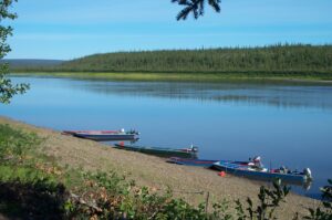
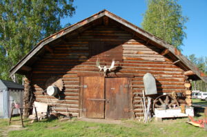
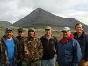
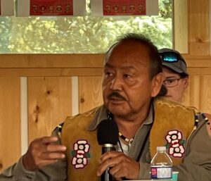
Photo: Peter Mather