PEEL WATERSHED PLANNING REGION:
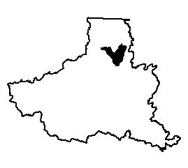
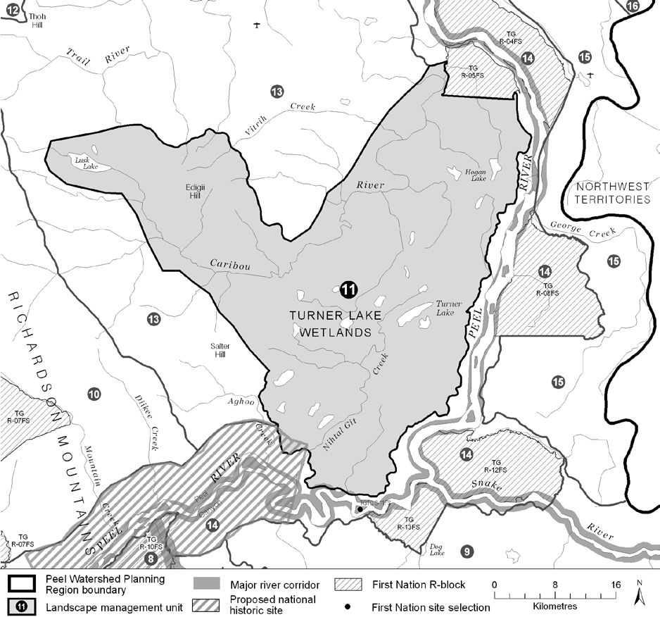
LMU 11: Turner Lake Wetlands and Caribou River
Implementation News
Much of this LMU and LMU 14 are being considered to be in a new national park. The First Nation of Na-Cho Nyäk Dun and the Gwich’in Tribal Council would co-develop and co-manage this park together with Parks Canada. If established, this proposed park would permanently protect 3,000 square kilometres. See this press release for more information.
Objectives
- Water quality and flow in Lusk Lake, the Turner Lake wetlands and the Caribou River are not affected by human activities.
- Community cultural activities practiced without significant disturbance.
- The ecological and cultural significance of Edigii Hill (aka Caribou Mtn) remains undiminished.
- Wilderness character is maintained.
Rationale for Designation
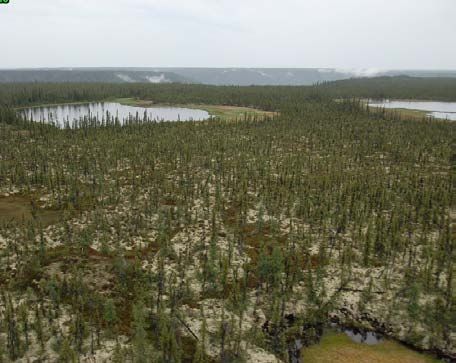
- Includes a Yukon Key Wetland complex that is a well situated stop over for migrating waterfowl.
- Highest concentration of lakes and wetland complexes in the Region.
- Highly valued for trapping and other cultural activities.
- Edigii Hill (or, Caribou Mountain) and Lusk Lake are culturally important places for the TG.
- Traditional Knowledge indicates that Edigii Hill has been used an alternate calving ground for the Porcupine Caribou Herd. It could be a significant feature during other stages.
- Several traditional travel routes traverse the unit.
- Both Edigii Hill and the Turner Lake wetlands were recommended for consideration for protection by the Peel River Watershed Advisory Committee.
- The steep escarpments that overlook the Caribou River are underlain with permafrost and therefore are especially susceptible to surface disturbance. This susceptibility is predicted to increase as a result of climate change. Resulting slope failures could result in hydrological changes catastrophic to the wetlands.
- Low mineral potential, and moderate oil and gas potential. Difficult access into the area makes resource development more challenging.
Cumulative Effects Thresholds
Cumulative Effects Indicators
Surface Disturbance
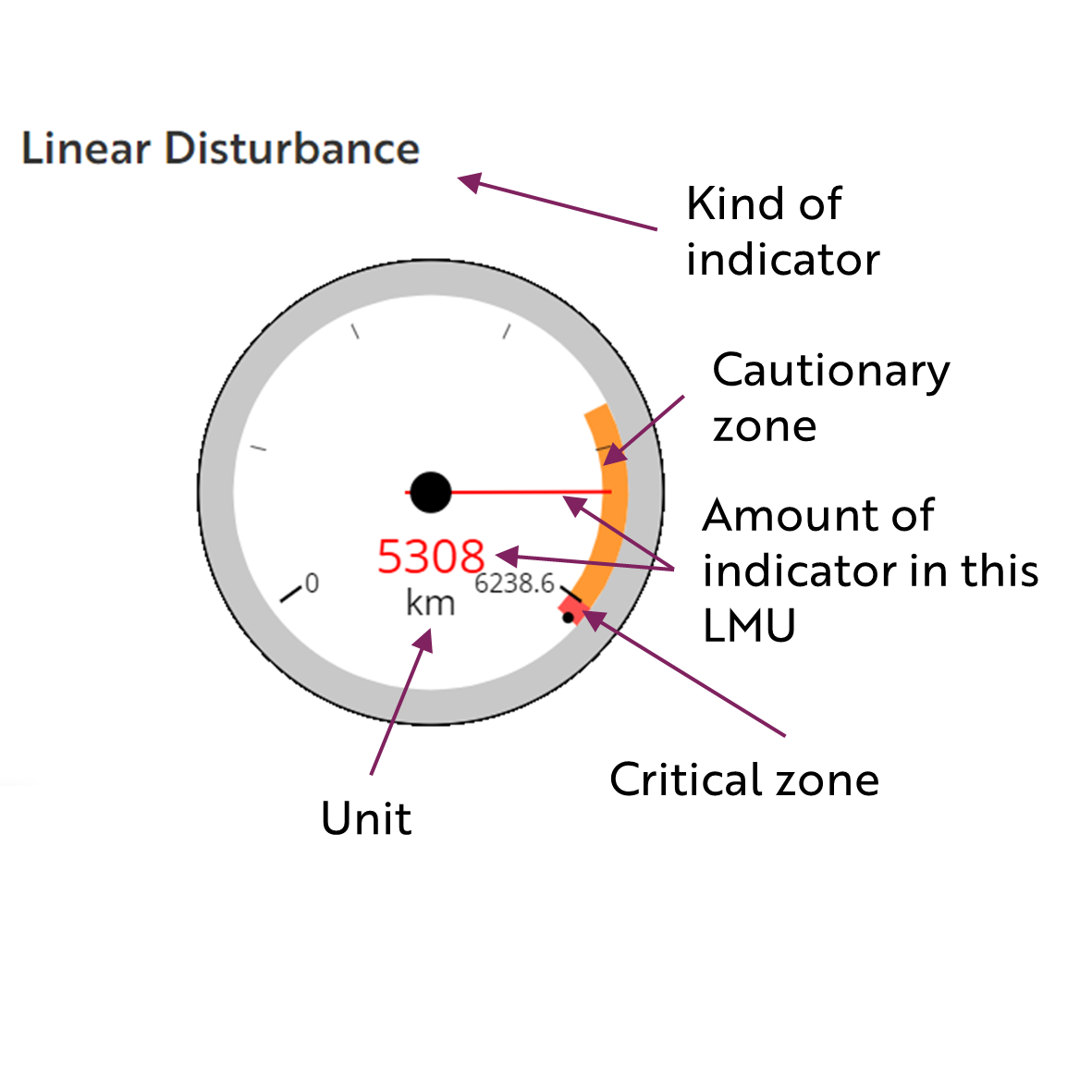
Linear Disturbance
These gauges show how much of each disturbance indicator there is in the LMU with the needle and the large number near the middle. The colours indicate disturbance level zones or thresholds. If the needle is in the white zone, no threshold has been reached.
The Dawson Planning Commission gives a details of their similar (but slightly different) Cumulative Effects Framework on their website.
Biophysical Setting
Ecological Resources
Heritage, Social and Cultural Resources
Economic Development
Special Management Considerations
None
