PEEL WATERSHED PLANNING REGION:
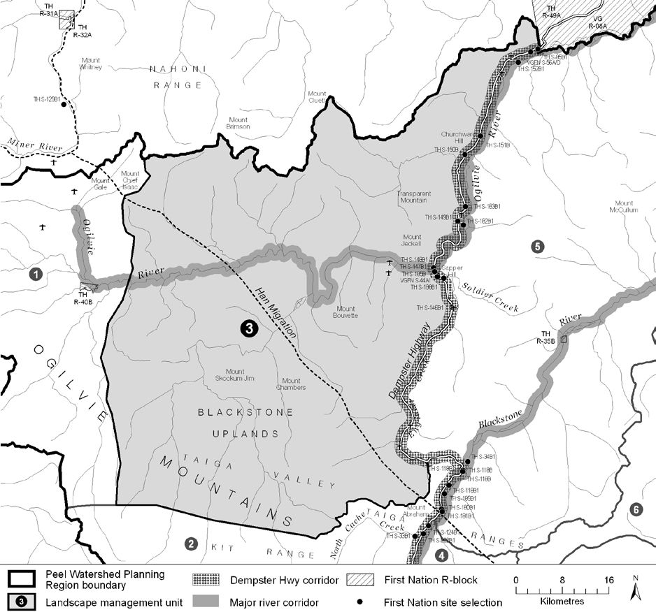
LMU 3: Central Ogilvie


Objectives
- Ecological integrity is maintained.
- Sustainable economic development that supports the local economies.
- Land use activity does not significantly impact movement and habitats of caribou.
Rationale for Designation
- Adjacency to the Dempster Highway may allow development to occur more readily with less access-
related impacts. - Limited wilderness tourism activity reduces potential conflict between industrial and tourism sectors.
- Landscape characteristics makes cumulative effects monitoring more effective in limiting impacts on
habitat. - Moderate mineral potential with good access.
- Portion of the Kandik oil and gas basin.
- The high value of this unit for the Porcupine caribou herd, Dall’s sheep, and the people that hunt them calls
for a limited scale of industrial development, thus meriting a Zone III designation.
Cumulative Effects Thresholds
Cumulative Effects Indicators
Surface Disturbance
Linear Disturbance
Biophysical Setting

Ecological Resources
Heritage, Social and Cultural Resources
Economic Development
Special Management Considerations
1. The proposed right-of-way for the Dempster Highway lateral pipeline runs along eastern boundary.
2. Major River Corridor management directions apply along the Ogilvie River.
3. Subsequent Dempster Highway sub-regional land use plan may apply to eastern part of unit – Dempster Corridor to be managed consistent with IMA Zone III objectives.
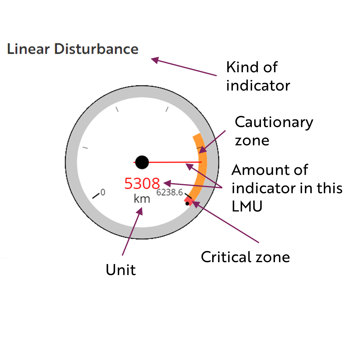
These gauges show how much of each disturbance indicator there is in the LMU with the needle and the large number near the middle. The colours indicate disturbance level zones or thresholds. If the needle is in the white zone, no threshold has been reached.
The Dawson Planning Commission gives a details of their similar (but slightly different) Cumulative Effects Framework on their website.

